
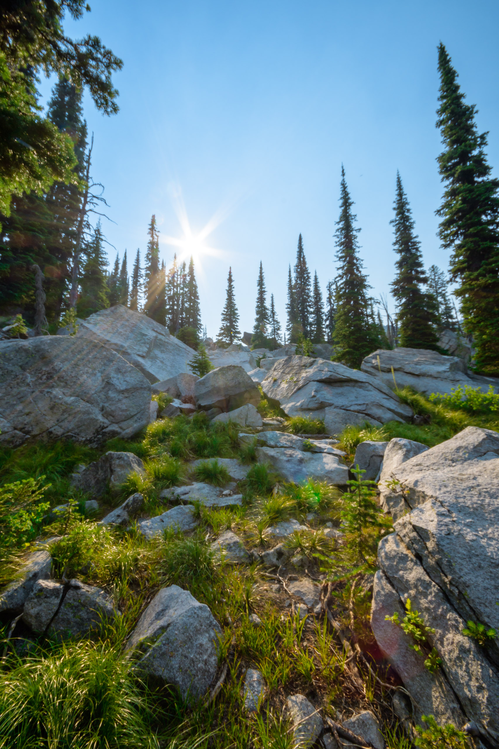
From the Bear Creek Pass Trailhead, several great hikes spread into the Lost Horse Country, and the trail to Fish Lake is exceptional. Starting out, we hiked through a mixture of forest and boulder fields until we reached a junction in the path. By this time we were solidly within the Selway-Bitterroot Wilderness Area. Continuing straight would lead you to Coquina Lake, but we hung a left.


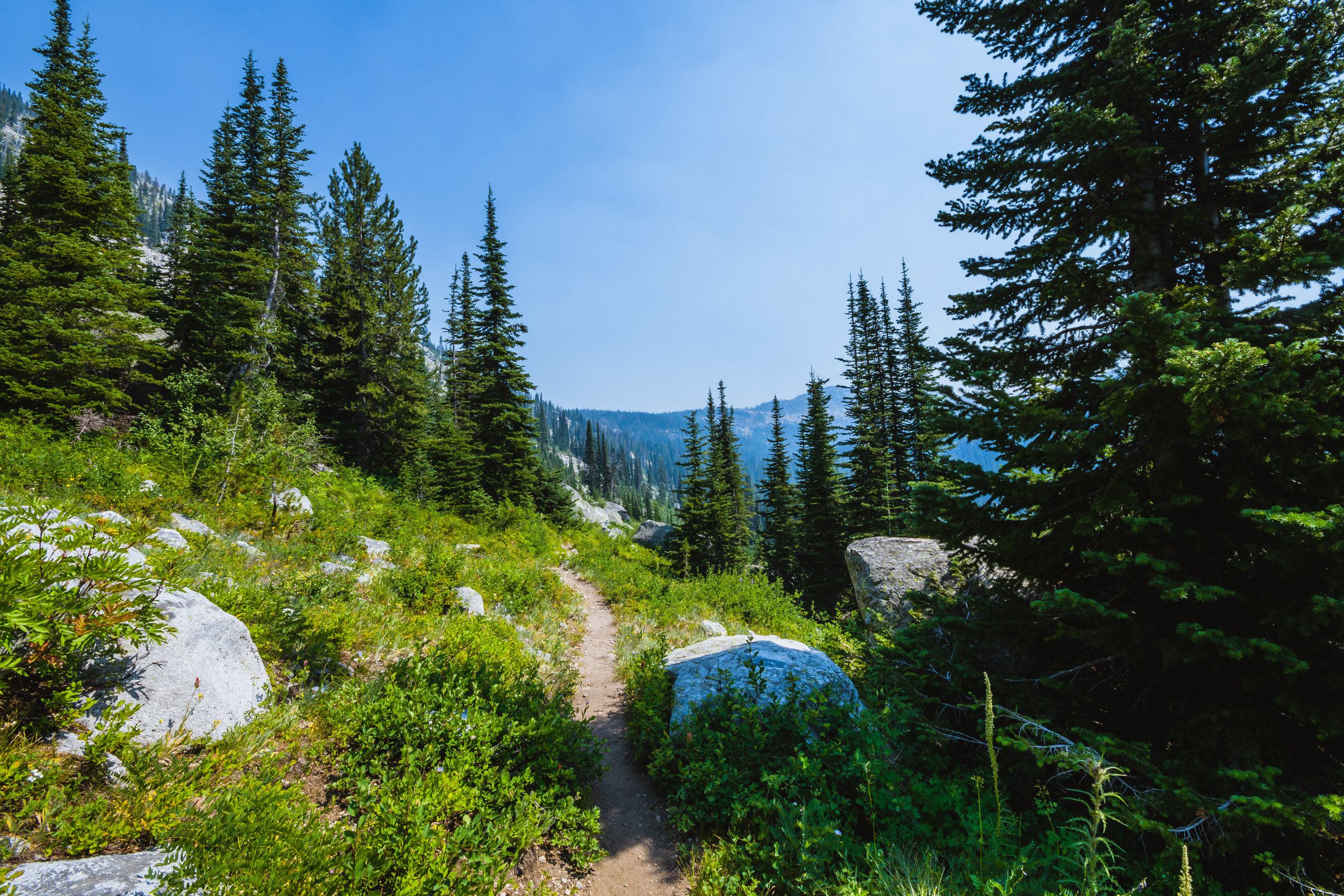

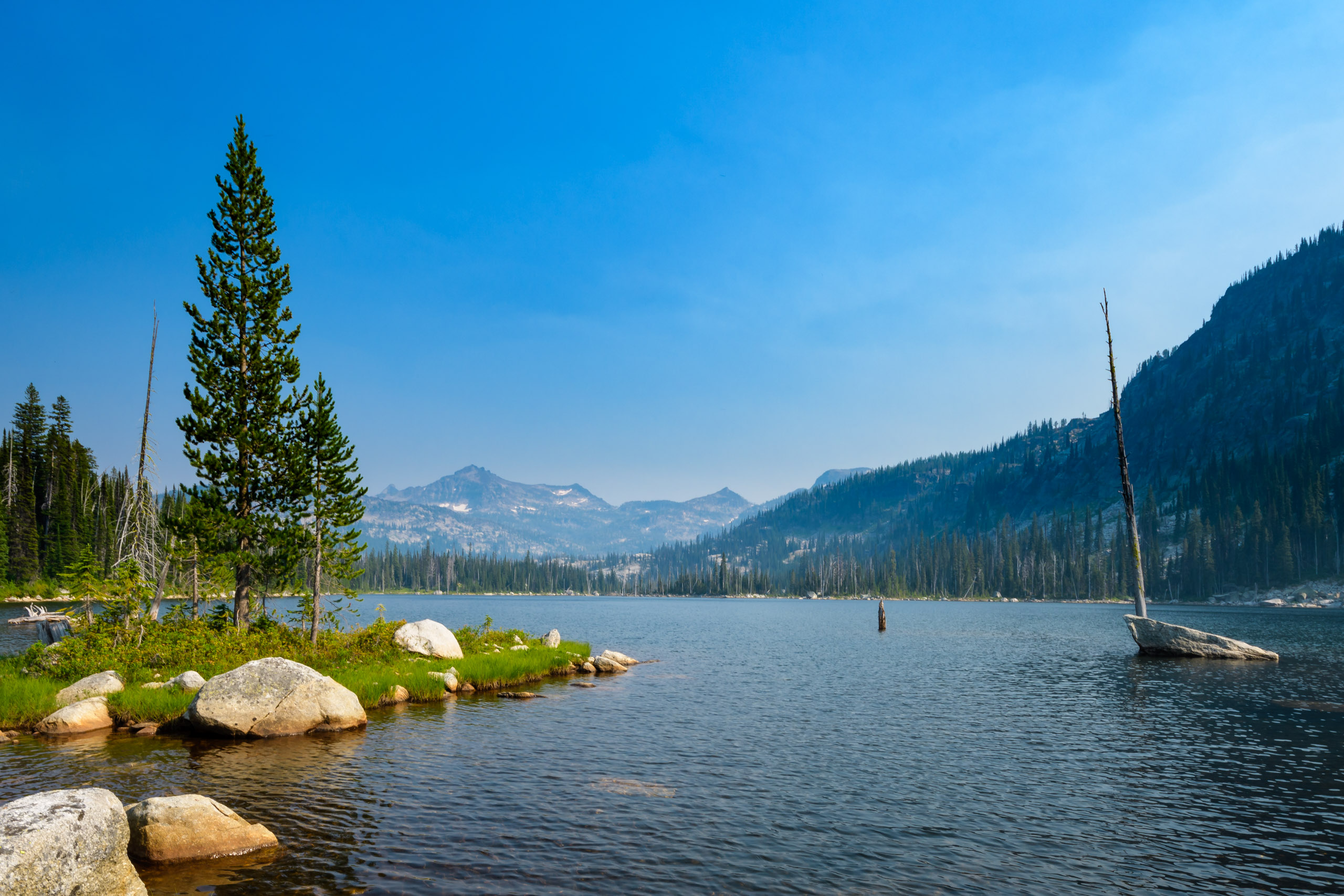
From here, we switchbacked across a fairly open forested face to a flat pass. Looking down to the south, Fish Water appeared to be really close. However, we had about another mile and a half of hiking left before reached the water. The trail now began a prolonged downhill to the lake. The vegetation on this side the hill was considerably thicker and lusher than the Bear Creek side of the ridge. Reaching the lake, Vida almost immediately went a swim, and she just had to swim out to the rock some 25 yards out. Across the lake, White’s Mountain stands prominently, and at its base, there Hackney Lake and Lost Horse Lake, which you could continue to hike to for an overnight trip.
[sgpx gpx=”/wp-content/uploads/gpx/Fish Lake.gpx”]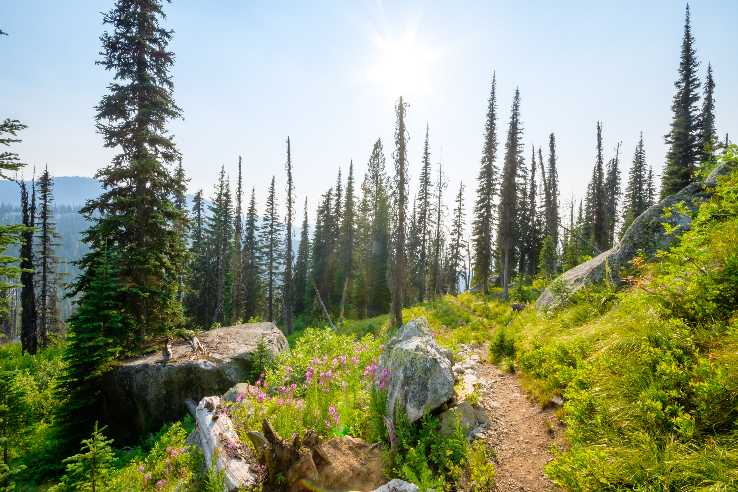


Even though wildflower season is done, for the most part, there were a few in bloom in the wet margins of the lake. Explorer’ Gentian and Hooded Ladies’-Tresses were the 2 most interesting finds.


The hike back to the trailhead was mostly about picking berries and enjoying the warm sun, even with the smoke from nearby wildfires.


The last couple of weeks I’ve been hiking a bit on this trail. I’m working up to my first solo, overnight backpacking adventure, which I am thinking will be at this lake.
Can you tell me a little bit about the junction where you can either go to Fish Lake or Coquina Lake? Is it pretty evident or is it something one could miss accidentally?
Thank you!
It has been about 5 years since I did this. I have been to both lakes. But I seem to recall the junction was fairly clear. Fish lake is to the left at the saddle (your descent begins) and Coquina lake is to the right. Fish is in Montana and Coquina is in Idaho. If using OnXmaps for Montana your map will be blank when you enter Idaho.