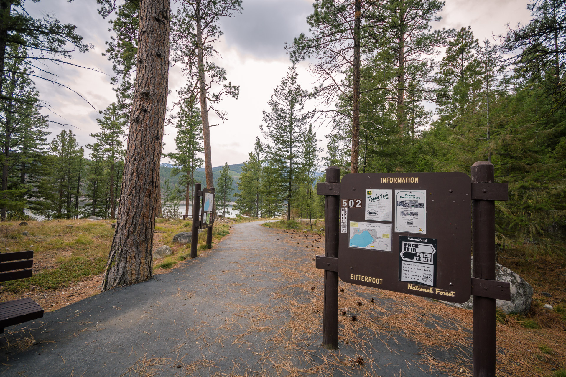
Lake Como, not the Italian one either, is nestled in the Rock Creek drainage in the Bitterroot Mountains. While actually a reservoir, Lake Como is nonetheless stunning, and the fact that there is a trail that encircles the entirety of the shoreline and a massive cascade at the west end of the lake makes this area a great recreation area. The trail is in great shape and offers little in the way of incline challenges. But, the views are stunning. Especially, when you reach the head end of the lake and the large and lively cascades of Rock Creek. The hike is a nice round 8 miles and begins at the Lake Como Campground. The first 1/4 mile or so of the path is paved, but this soon gives way to a rocky path that skirts the shoreline.
If you are feeling adventurous, you can kayak the perimeter of the lake during the warmer months.
Lake Como History
By 1909, the dam to help store water in Lake Como saw significant construction. Lake Como Reservoir was formed by placing a dam across the outlet of the natural lake. The dam consisted of a 2,500 foot long earthen embankment. Its maximum height was 65 feet above the original creek bed and 50 feet above the original lake level. At the dam’s north end they placed a 75-foot wide, eleven foot deep, reinforced steel concrete spillway. The spillway’s original capacity totaled 2,400 cubic feet per second with an emergency capacity of 8,400 cfs.
[sgpx gpx=”/wp-content/uploads/gpx/Lake Como Loop.gpx”]